Science has a map problem.
Millions of studies record what science has learned, yet there is no index of what it has and has not covered, and no record of where each study took place. COMPASS ID is a nonprofit building that index as a free, open-access map of the scientific record: what each study is about, and where it happened. It makes the places no indexed research has reached visible, so effort and funding can go where they are needed. Our research atlases are open now. The full platform is still in development.
An early-stage prototype. The research atlases are open now. Researcher profiles and the Research Hub search are in beta.
Illustrative example · not real data
Where the work happens
Research footprint
Policy alignment
These totals span every corpus COMPASS ID has classified, including corpora not yet published as their own atlas · each published atlas reports its own paper count, species count, tag count, and measured accuracy. · Version log
Search the research in plain language.
Ask a question the way you would ask a colleague. The question is turned into filters you can check and edit, by topic, method, place and years, and every result is a paper from the published atlases or from a member’s profile, with a summary of what the results cover.
No account is needed to search. Results come only from the database: the published atlases and papers on member profiles.
Map what science knows, and what has no indexed research.
Millions of research papers hold what humanity has learned, but the literature itself is just an enormous pile of unstructured text. You can search it for words, but you cannot ask it real questions. COMPASS ID’s method is to have AI read every paper and attach the same structured facts to each one, what was studied and where, so the pile becomes a database: queryable in plain language, and mappable because location is one of the fields. We are a nonprofit because that map should be a public good, not a private product. We begin in conservation, and the same method extends to other fields.
Curated atlases, one searchable record, and a workspace for your own research
Every paper COMPASS ID reads is tagged against the same codebook and given study sites read from its own text. The atlases, the Research Hub and your workspace all draw on that one record.
Research atlases
A complete picture of the research on one group of organisms or one theme: the full species list or study area, every paper tagged and checked, accuracy measured by blind review, and the places and species no indexed paper has reached. Each atlas also shows how the research lines up with the SDGs, the CBD, CITES and the IUCN Red List. Every atlas adds its papers to the shared record.
Open the atlases →Search the whole record
Ask a question in plain language and get papers from the published atlases and from member profiles, with a summary of what they cover. View the results as a list or on a map of their study sites, add satellite layers, and keep only studies whose sites meet a condition such as forest loss since 2010. Find the researchers behind the papers and discuss the work on topic boards.
Search the research →Your own research
Sign in with ORCID and your papers are imported, tagged and placed on a map in your public profile, with citations kept up to date. Follow topics, researchers and authors, save papers, and search your own papers, including private uploads only you can see. Projects hold a corpus of your choosing, with its own tags, gap analysis and exports.
Create your COMPASS ID →Where to start, by what you need
Need an atlas for your field, region or species group? Request one.
See where the science looks, and where it does not
Our Orchidaceae atlas covers the 26,501 indexed studies of the orchid family, one of the two largest families of flowering plants and the whole of it listed under CITES. Study sites are read from the text of each paper, not taken from author affiliations, so the map shows where the science actually happens. Giving every paper that place, and then reasoning with the places, is what we mean by spatial intelligence; that reasoning now also estimates, in beta, how much research each place would be expected to have, and where it falls short. Of the 31,777 species in the family with known range countries, 4,547 have a located study site inside one of them; three quarters of the family has no indexed paper, and the species with none are concentrated in Indonesia, the northern Andes and New Guinea, away from where the research is.
of species in the Orchidaceae, the orchid family, have no indexed paper: 24,503 of the 31,892 species accepted by Kew’s World Checklist of Vascular Plants.
Every accepted species is loaded from a taxonomic authority and matched against the indexed literature, so a species with no linked papers is a measured result, not an estimate.
How each study is tagged and checked
The tags drive the maps, the filters, and the gap counts, so they need to be accurate. Each one is tied to the paper’s own text, checked by another model, and measured against real data.
From reference databases
The species and places we tag come from IUCN, GBIF, and MeSH, not from lists we make ourselves.
Backed by a quote
Each tag cites a specific passage in the paper. Without a supporting quote, it is not kept.
Independently checked
A second model reviews each tag against the same rubric, and a third checks the result.
Measured accuracy
Against reference sets built by an independent AI model (not a human expert), tag precision runs 81–86% across published corpora. Recall is lower than precision, so counts are more likely under- than over-stated; they are not exact. Geocoding and species-link accuracy are measured and reported separately. Each atlas states its own precision, recall, method, and date.
Now in beta · coverage is partial · a blank region means “no indexed study found,” never “no research exists.”
Field notes from the evidence

Indexed research on the coffee family, species by species
October 20, 2026
Indexed research on the 45 wild cat species
October 12, 2026
Indexed research on the orchid family, species by species
October 3, 2026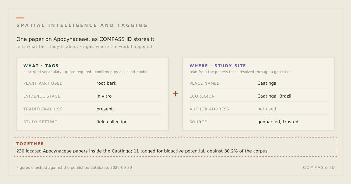
How spatial intelligence and tagging show where research is missing
September 30, 2026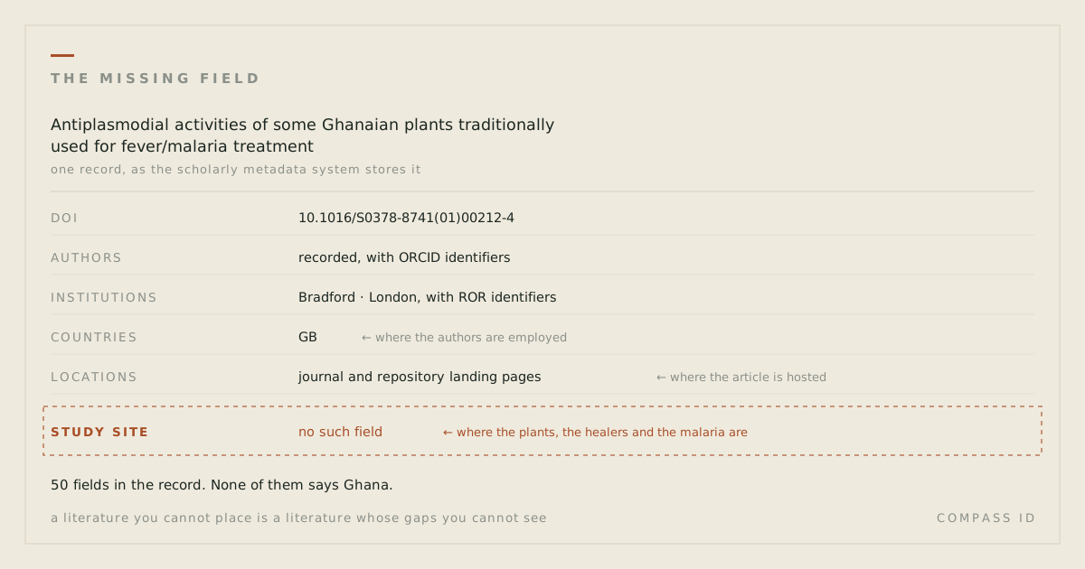
What we miss when we don’t ask where
September 24, 2026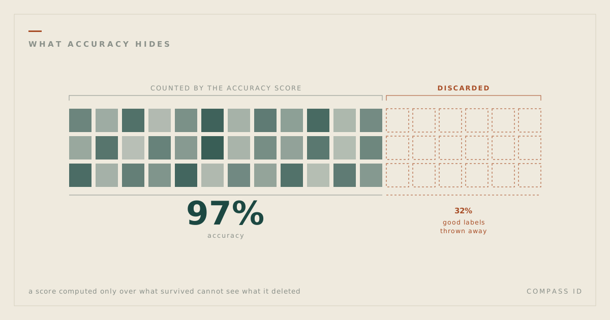
What AI accuracy hides
September 17, 2026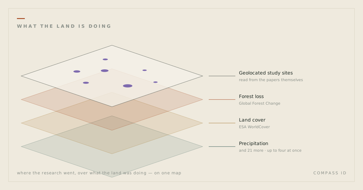
Combining research atlases with Earth observation data using natural language
September 10, 2026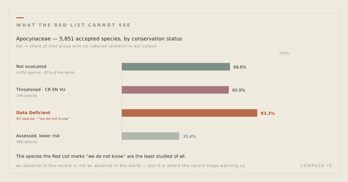
What we miss when a species has no indexed research
September 3, 2026
Desertification research locations compared with land degradation
August 29, 2026
Indexed research on the Apocynaceae, species by species
July 11, 2026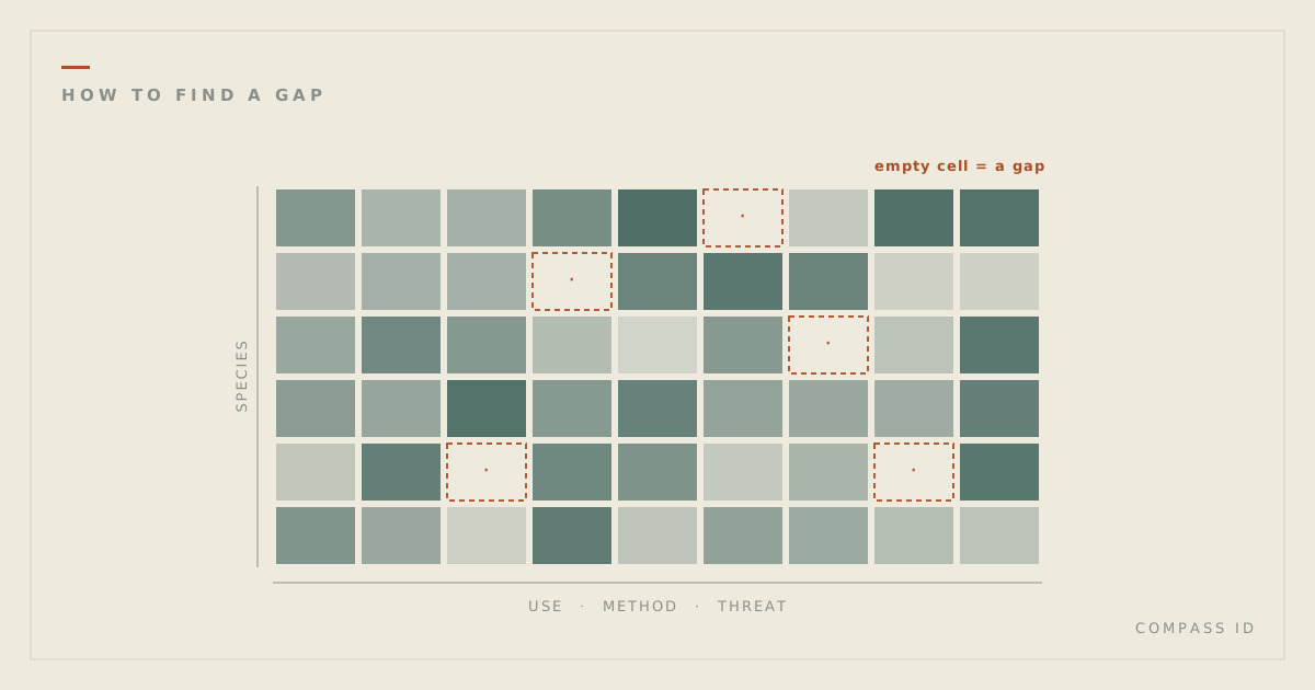
How to find a research gap
June 22, 2026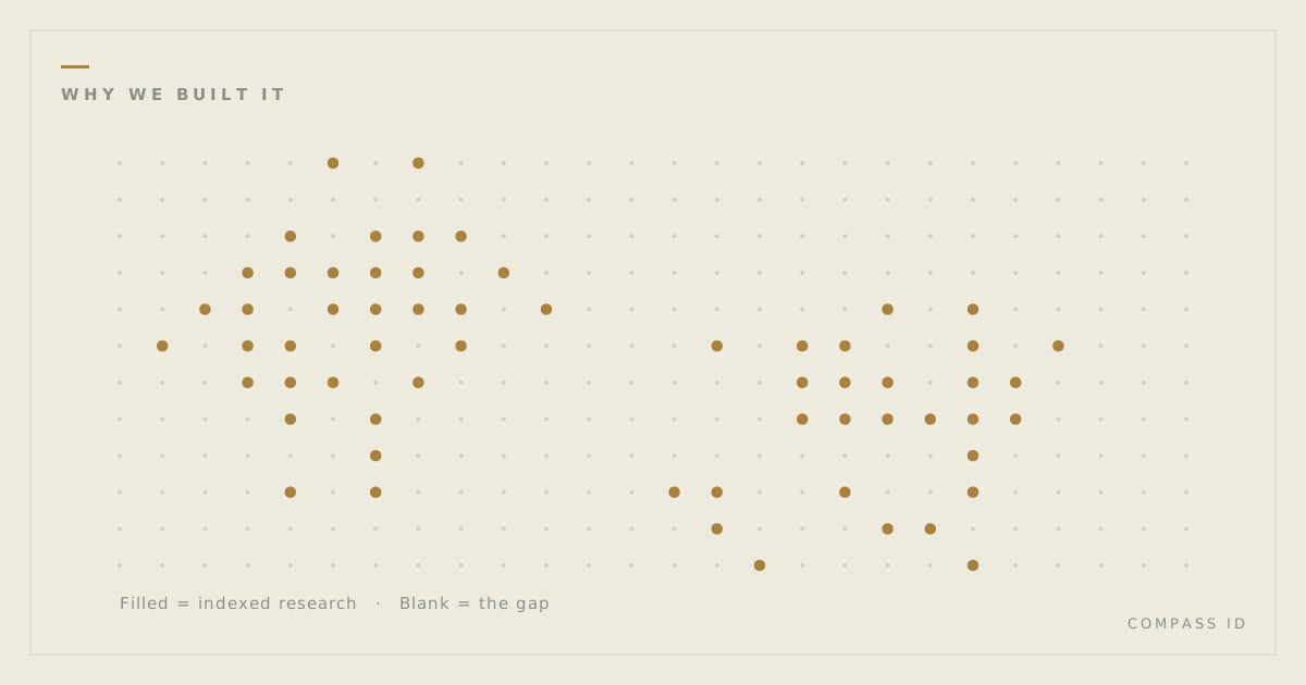
Why we built COMPASS ID
June 14, 2026COMPASS ID for iPhone and iPad
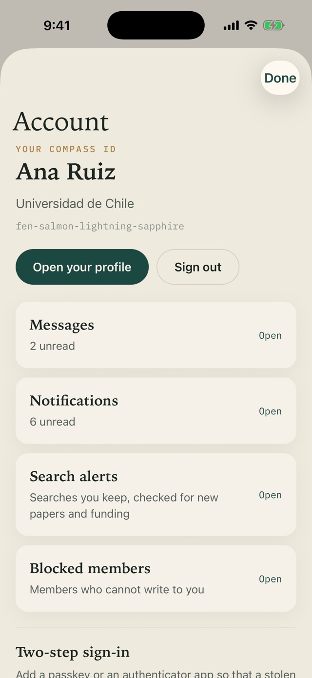
The app uses the same account as the Research Hub, so everything you save in one appears in the other.
Available for iOS soon- Search the indexed record, or ask in plain language
- A map of where the research happened
- Satellite layers and study site analysis
- Save papers and add them to your projects
- Search alerts and funding opportunities
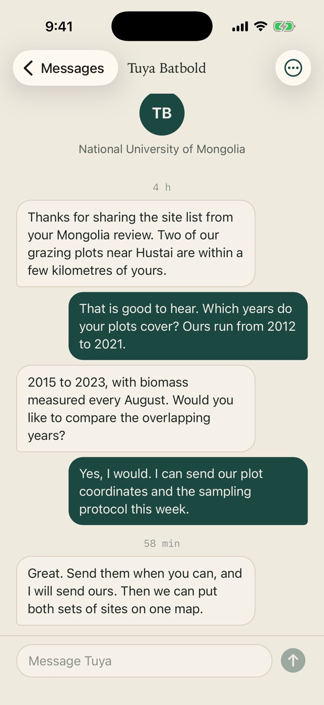
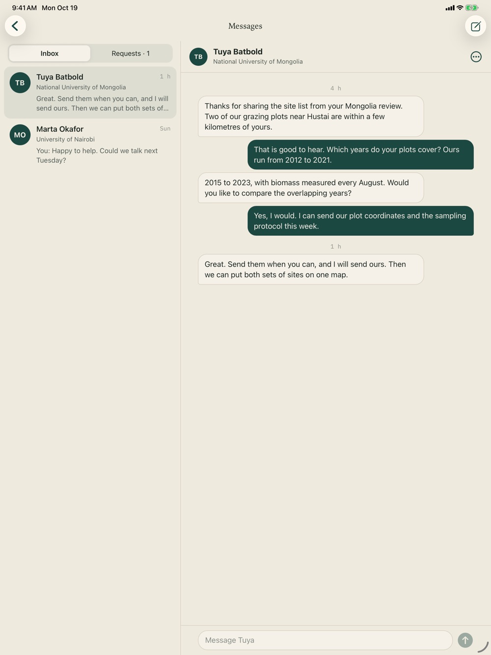
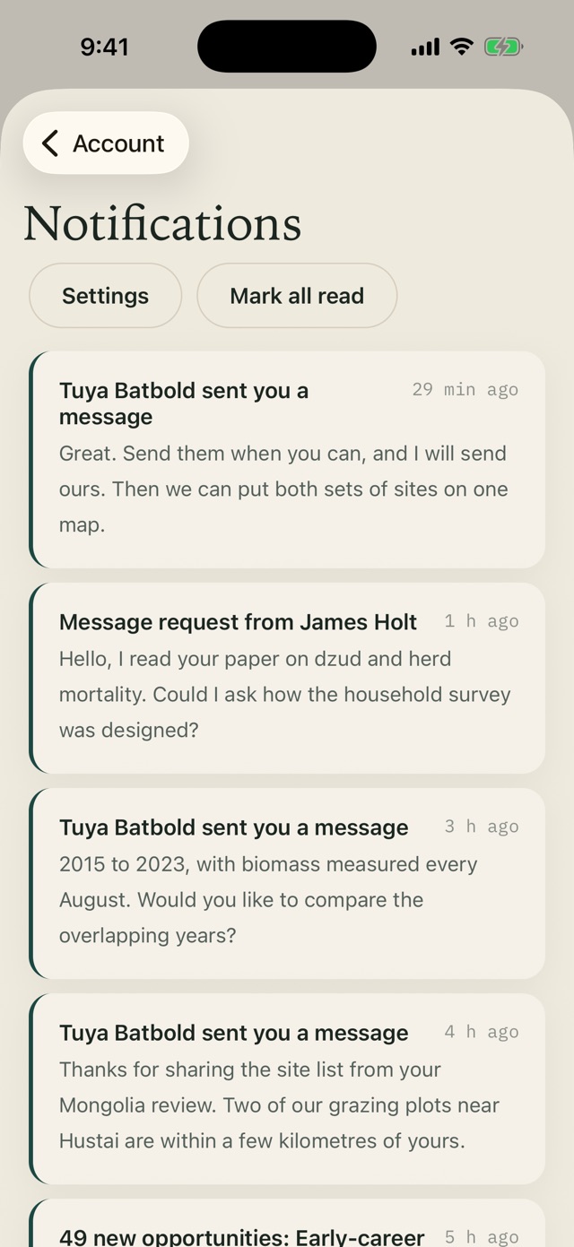
- Messages with other members, and notifications you choose
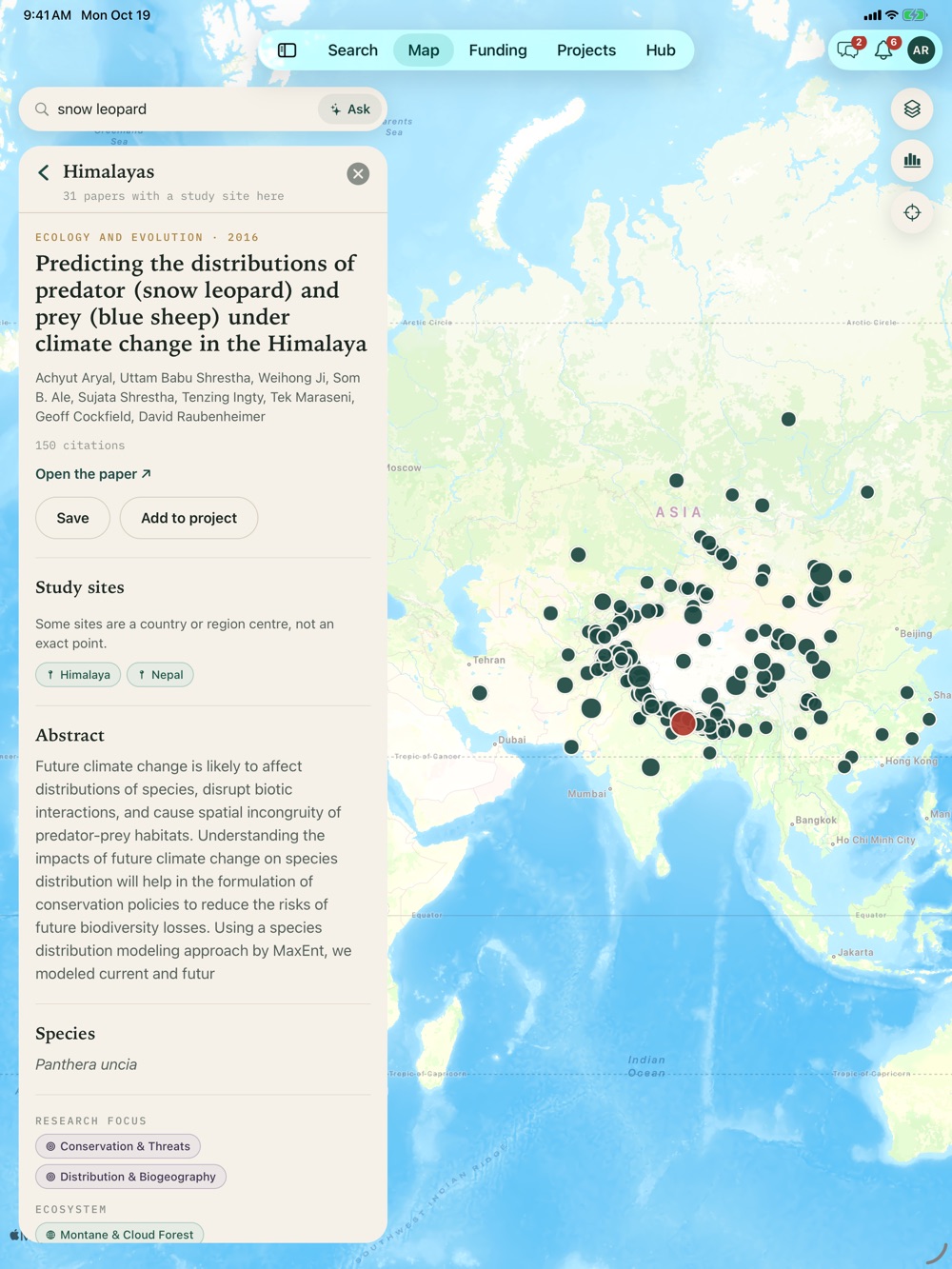
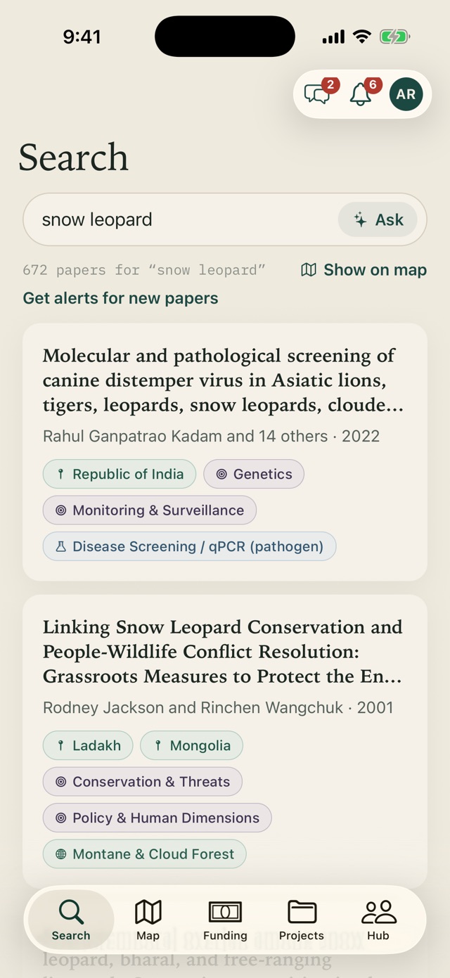
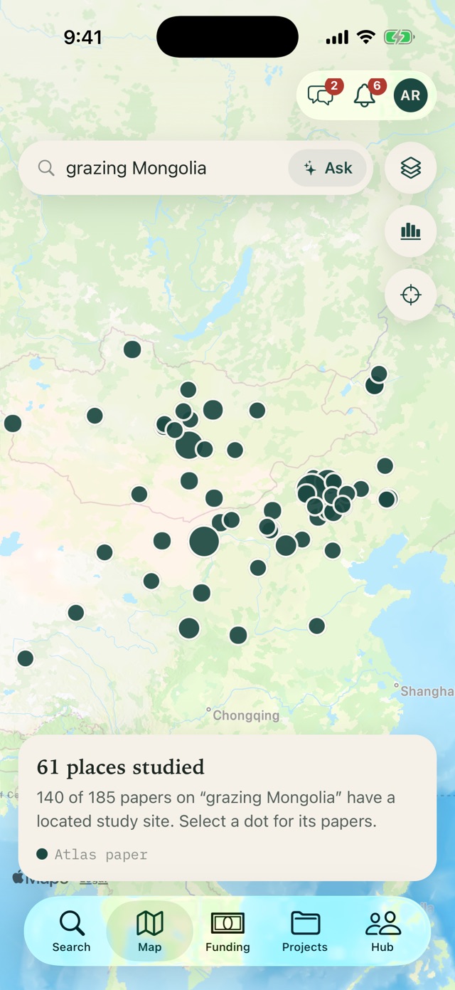
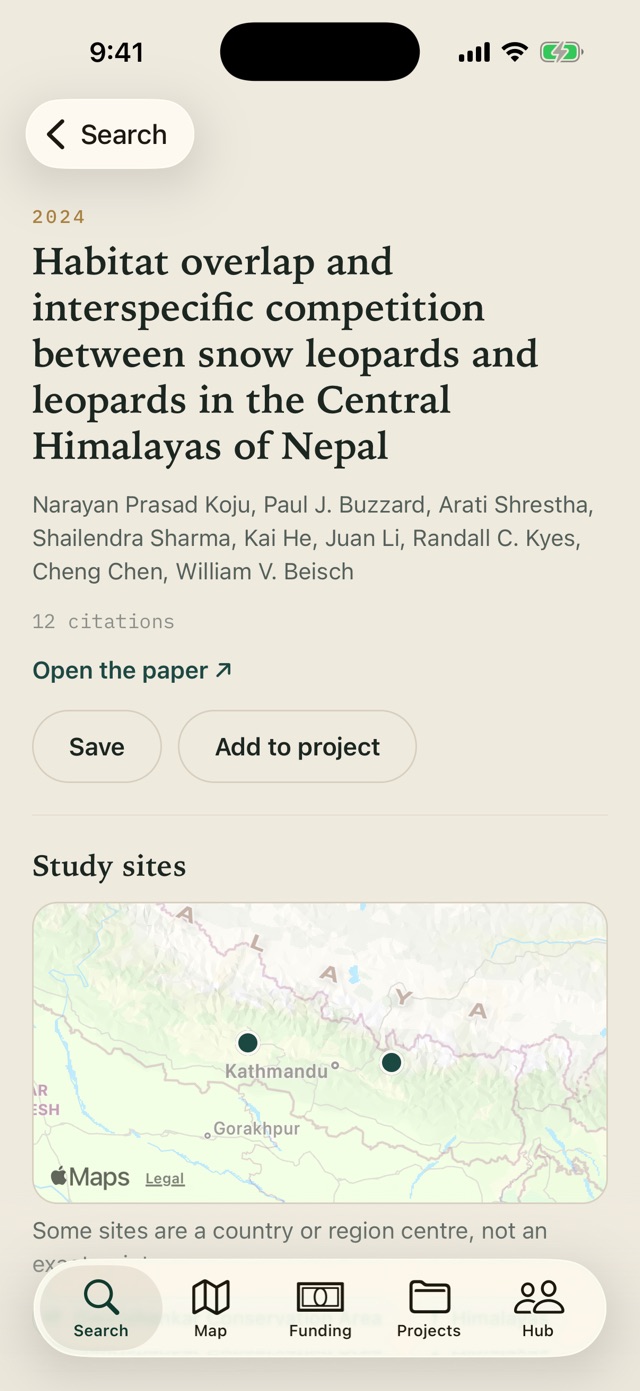
See what science has studied, where it was studied, and what it has not studied.
Explore our open research atlases and the interactive map, or learn how the method works. More atlases are on the way. If you are an organization or researcher who wants one for your field, region, or species group, request it.